Global Deforestation

This section is intended to collect data on the current status of global deforestation. This is accomplished through the utilization of APIs, databases, news sources, MapBuilders, and academic journals.
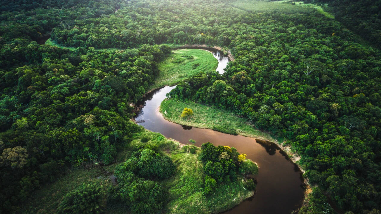
Global forest loss map
Credits: University of Maryland, department of geographical sciences.
Results from time-series analysis of Landsat images characterizing forest extent and change.
Trees are defined as vegetation taller than 5m in height and are expressed as a percentage per output grid cell as ‘2000 Percent Tree Cover’. ‘Forest Cover Loss’ is defined as a stand-replacement disturbance, or a change from a forest to non-forest state, during the period 2000–2019. ‘Forest Cover Gain’ is defined as the inverse of loss, or a non-forest to forest change entirely within the period 2000–2012. ‘Forest Loss Year’ is a disaggregation of total ‘Forest Loss’ to annual time scales.
Reference 2000 and 2019 imagery are median observations from a set of quality assessment-passed growing season observations.
News List

Assam floods revive questions over ignored warning on riverbank mining
Guwahati: More than four years before the Dikhow River unleashed devastating floods in Assam’s Sivasagar district, the state’s water resources department had warned that indiscriminate sand and stone excavation along its banks could alter the river’s... [4383 chars]
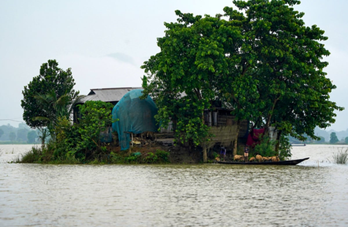
Why Assam remains one of India’s most flood-prone states
Assam is witnessing one of its worst floods in recent years. At least 80 people have died, lakhs have been affected, and extensive damage has been caused to homes, roads, bridges and farmland. Thick layers of silt have buried houses, vehicles and liv... [5181 chars]
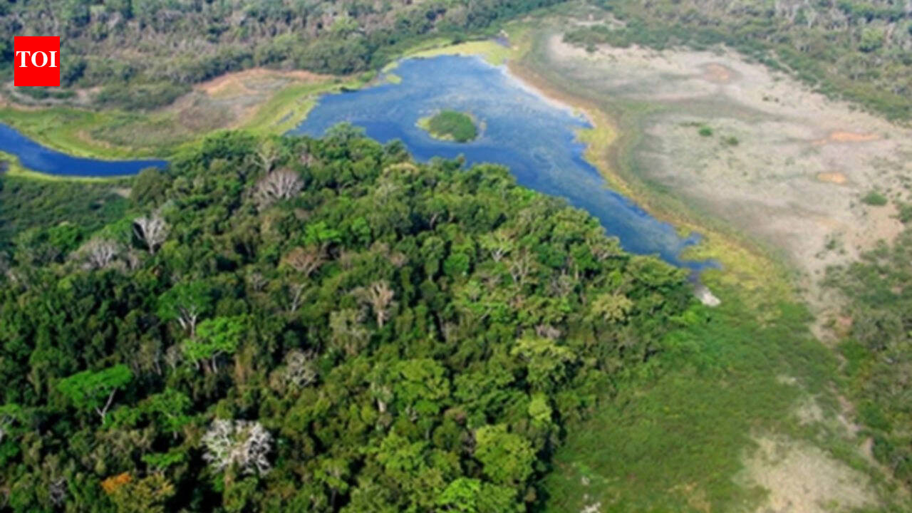
Logging is the biggest cause of disappering forests, but this protected forest allows people to cut tree and yet has 0% deforestation: How Guatemala system is producing the opposite result
Maya Biosphere Reserve covers about 2.1 million hectares in Guatemala's northern PetEn province
Logging is one of the biggest reasons forests are disappearing. When trees are cut faster than they can grow back, wildlife loses its habitat, and local c... [7516 chars]

Brazil uses forensic science to trace gold’s origin and tackle illegal mining in the Amazon
BRASILIA, Brazil — Brazil is using forensic science to tackle illegal gold mining in the Amazon, a top threat to the rainforest, Indigenous groups and other communities there that has accelerated deforestation and driven mercury contamination to dang... [6563 chars]

Brazil uses forensic science to trace gold's origin and tackle illegal mining in the Amazon
BRASILIA, Brazil (AP) — Brazil is using forensic science to tackle illegal gold mining in the Amazon, a top threat to the rainforest, Indigenous groups and other communities there that has accelerated deforestation and driven mercury contamination to... [486 chars]
Brazil uses gold fingerprinting to trace illegal Amazon mining
BRASILIA, Brazil (AP) — Brazil is using forensic science to tackle illegal gold mining in the Amazon, a top threat to the rainforest, Indigenous groups and other communities there that has accelerated deforestation and driven mercury contamination to... [6572 chars]
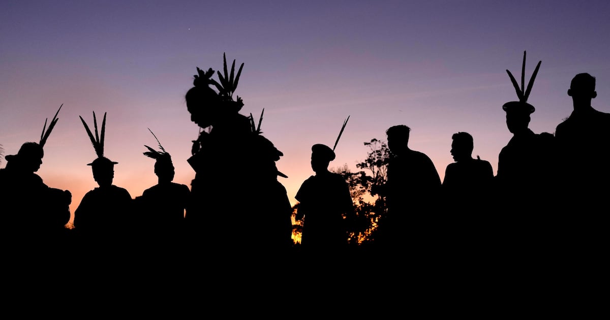
A model Indigenous territory in Brazil's Amazon seeks protection from criminal gangs
SAO PAULO (AP) — The Ashaninka Indigenous people — who recovered their territory in the Brazilian border with Peru from settlers three decades ago, established and sustained their own governance, and grew crops while protecting the forest — have long... [597 chars]
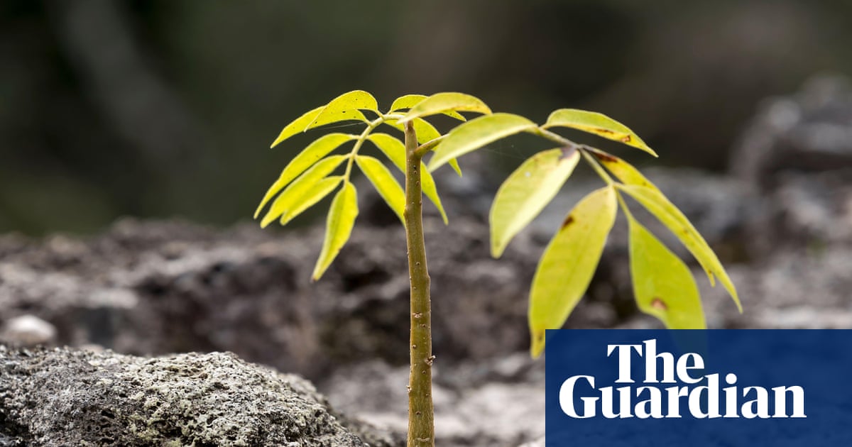
Legal logging and soaring saplings: the ‘green islands’ bucking the deforestation trend in central America
The low rumbling grows louder until a huge harvester crashes into the open, dragging a 15-metre trunk of mahogany in its wake. The tractor manoeuvres before releasing its load and shovelling it like a matchstick on to a growing pile of lumber at the ... [9120 chars]

Tragedy Strikes: Flash Floods Ravage Northeastern Afghanistan
At least 20 individuals have perished following devastating flash floods in northeastern Afghanistan, according to a statement from the Taliban-run government. The death toll is anticipated to rise, with over 100 people reported missing as of Monday ... [822 chars]
Amazon soy pact collapse could drive 1.4 million hectares of deforestation in Brazil by 2036, new study finds
For nearly two decades, a handshake agreement saved the Amazon from the chainsaws. Soy traders promised not to finance cropland carved out of deforested Amazon territory after 2008, and it worked. Deforestation-linked soy expansion fell from one-thir... [4305 chars]
News API sources: NewsCatcher & GNews